top of page

Data
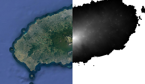
DEM of Jeju Island 100 years ago
-
DEM in the western part of Jeju Island 100 years ago created from an old map (近世 韓國 五萬分之一 地形圖).
-
近世 韓國 五萬分之一 地形圖 (근세 한국 오만분지일 지형도, 1914 - 1918) is the first map of the Korean Peninsula created using modern surveying techniques. It is made up of 722 grids of 10' latitude and 15' longitude and its scale is 1:50000.
-
This work was supported by the National Research Foundation of Korea(NRF) grant funded by the Korea government(MSIT) (No. 2018R1A2B2005772)
bottom of page